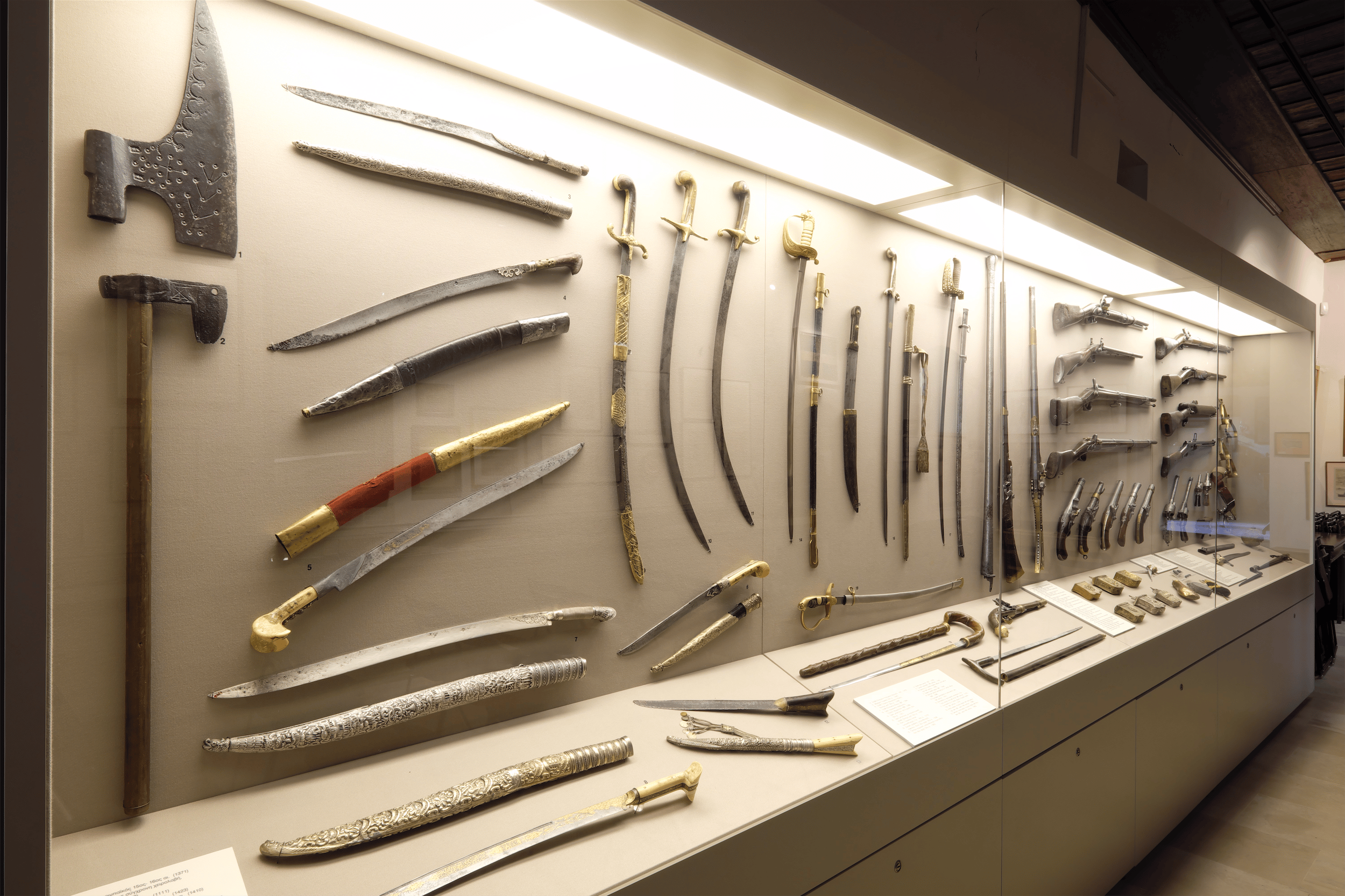
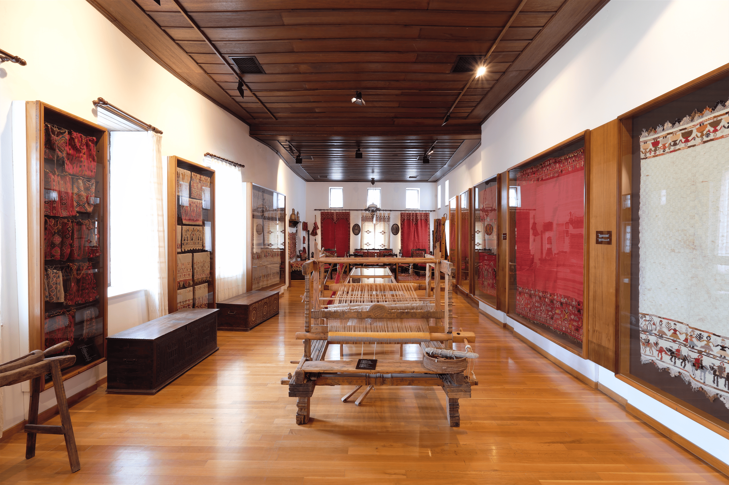
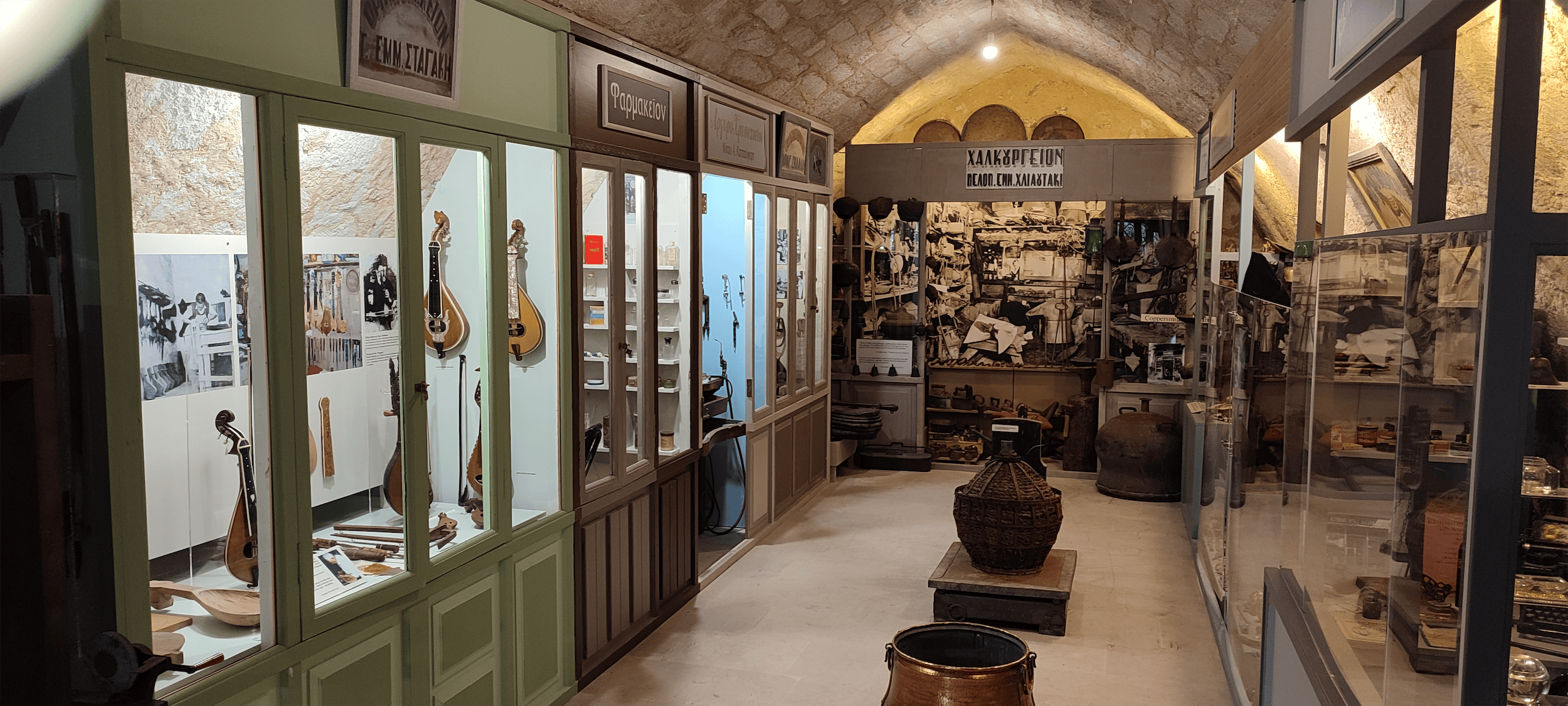
The historical collection includes coins, weapons- guns, Cretan knives, pistols. Also revolutionary flags, maps of Crete, objects from the Ottomans presence on the island, from the era of Autonomy, the Russian presence in Rethymno until the union with the rest of Greece in 1913. It also includes objects from the 1st World War, the Macedonian Strugle and the Battle of Crete and the German occupation.
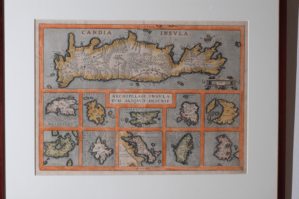
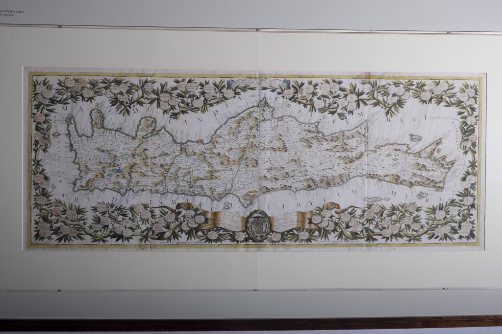
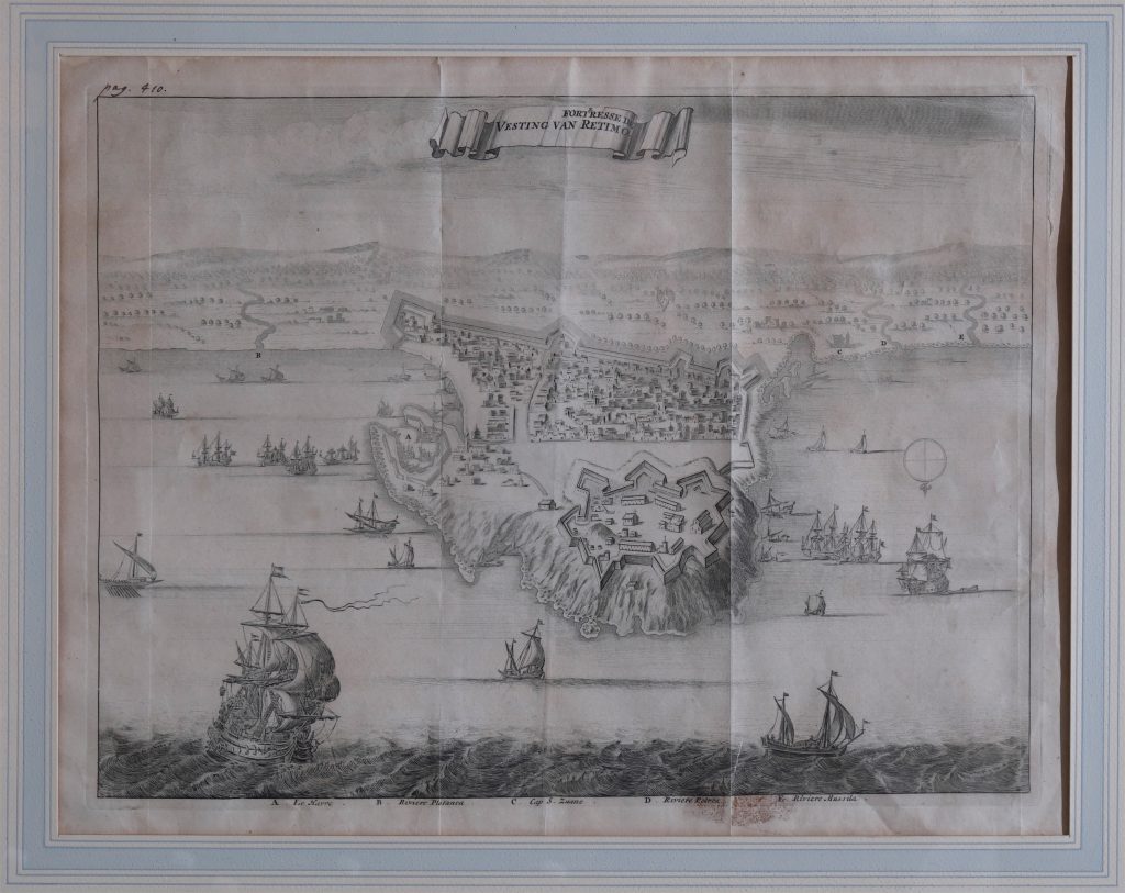
Maps of Crete (13th-18th century)
Crete as a cartographic phenomenon is unique in Greece. No other region is illustrated by so many maps and topographical plans from the sixteenth into the eighteenth century.
The maritime Venetian Empire maintained power and authority over the ‘Kingdom of Crete’ (Regno di Candia), studying the land in minute detail for economic, administrative but mainly defensive reasons. It fought tooth and nail to keep Crete in its possession, publicizing its importance first to the citizens of the Serenissima Republica and then to the rest of Europe. The twenty-five-year siege of Candia –today Herakleion– the longest in human history – bears witness to Venice’s concern, as do the countless topographical plans and mappings of the shores and islets, of the important towns and passes, of mountains and seas, which the engineers of the Serenissima Republica have bequeathed us.